The Town offers a variety of interactive and downloadable maps. By accessing these maps, users accept the terms of use listed below.
On this page:
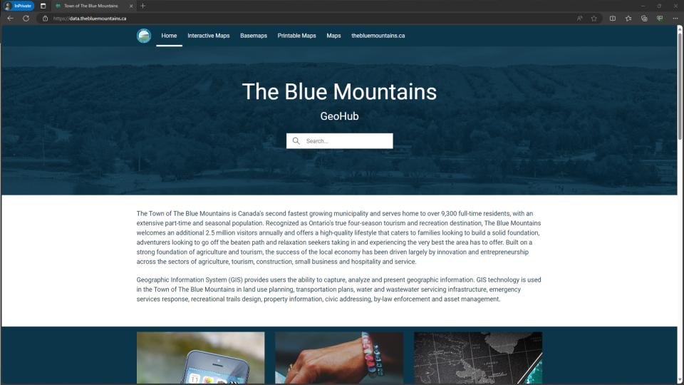
1. The Blue Mountains Open Data Hub
2. Popular Maps
3. County Maps
4. Official Plan Maps
5. Ontario GeoHub
6. Municipal511
7. Terms of Use
County Maps
Grey and Simcoe Counties offer online interactive GIS maps. These online mapping applications combines digital mapping with land related information for each County. This enables you to zoom into a desired location and view various aspects such as aerial imagery, property information, environmental features, tourist information and more.
Official Plan Maps
All schedule maps associated with the Town's Official Plan are available on the Official Plan web page.
Ontario GeoHub
The province has created a public GeoHub containing mapping information that includes LiDAR data, basemaps, forest fire activity, watershed information and more.
Municipal511
The Town uses Municipal511 to manage and communicate information about road closures, lane restrictions and other instances that may impact transit.
Terms of Use
The information and products found on this site have been compiled from numerous sources. All data are believed to have been substantially accurate as of the date(s) created and/or as of the date(s) acquired by the Town. Some of the data contained herein remain in their original form, while some of the data may have since been modified. The Town of The Blue Mountains or any other data provider makes no warranties or guarantees, either expressed or implied, as to the completeness, accuracy, or correctness of such products, nor accepts any liability arising from any incorrect, incomplete or misleading information contained therein.
The information within this site is intended for illustration purposes and personal use only. The mapping products are not a legal survey. Maps containing property boundaries are not plan of survey.
All mapping products or information contained in this site may not be reproduced or transmitted to others in any way without the written permission of The Corporation of the Town of The Blue Mountains.